Berlin Wall Trail
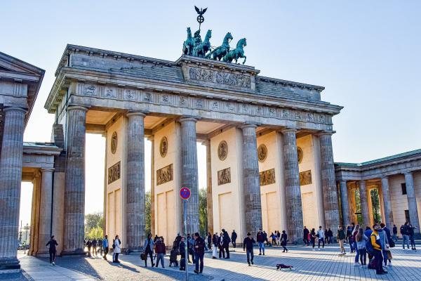
When the cycle tour starts in Berlin, the Wall Trail reliably leads from the Brandenburg Gate to the Berlin-Brandenburg state border in Lichtenrade and the official start of the Berlin-Leipzig cycle route.


Tour
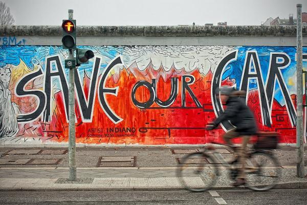
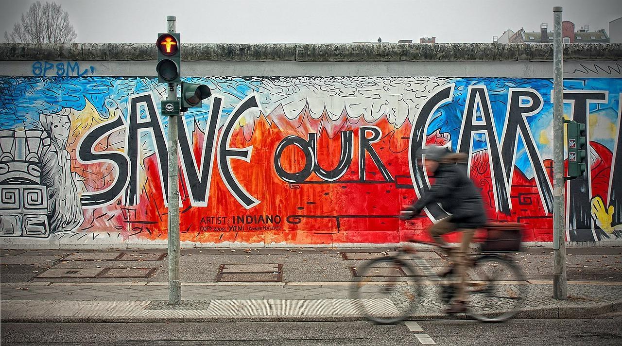
The Berlin Wall Trail marks the course of the former GDR border fortifications to West Berlin. It runs for around 160 kilometers around the former half-city, alternating sections of historical interest, where remnants of the Wall or traces of the Wall can still be found, with scenic routes that evoke the joy of the country's regained unity.
The Wall Trail is 160 km long in total. The tour starts in the center of Berlin at the Brandenburg Gate. In a south-easterly direction, it goes through the city center to Schönefeld to the state border with Brandenburg in Lichtenrade. This is the direct intersection with the Berlin-Leipzig cycle path, which then leads on the first official stage via Mahlow and Rangsdorf to Zossen.
From Lichtenrade, the Wall Trail continues along the southern edge of Berlin, via Potsdam to Wannsee. This section takes you through a lot of nature. From Wannsee, the route leads through the watery landscape around the Havel, Groß Gliekener See and Falkensee through the district of Spandau to Hermsdorf. Here, the route dips back into the city and cycles through Berlin's urban backdrop, which is broken up here and there by idyllic parks and cherry tree avenues.
The Berlin Wall Trail is signposted; overview maps are provided at regular intervals to help you find your way around. In addition, information in several languages about the division of Germany and the construction and fall of the Berlin Wall is provided at the stations of the Berlin Wall History Mile and the Berlin Wall Trail information steles. Photographs and texts describe events that took place at each location and remind visitors of the political situation and everyday life in the divided city. In addition, a "Berlin Wall orientation system" with maps and audio stations in the city center helps visitors to discover interesting remains of the Wall on site.
Data & Facts
City center Berlin - Brandenburg Gate
Interface in Lichtenrade to the Berlin-Leipzig cycle route
Circular tour: Berlin city center
April
Mai
Juni
Juli
August
September
Oktober
Further information
With the bike
- European cycle route R1
- Berlin-Leipzig cycle path
- Dahme cycle path
- Spree Cycle Path
- German Unity Cycle Route
- Berlin-Copenhagen cycle route
- Havel Cycle Route
- King Luise route
- Berlin-Usedom cycle route
With the train
- Main station
- Potsdamer Platz
- Südkreuz
S-Bahn line: S1, S2, S25
Stop: Brandenburger Tor (Berlin) (S+U)
Subway line: U55
Stop: Brandenburger Tor (Berlin) (S+U)
Currently, the Berlin-Leipzig cycle path is not signposted in the city of Berlin. We therefore recommend using the Mauerweg to get from the city center to the state border and the start of the Berlin-Leipzig cycle path in Lichtenrade. Otherwise, the tour can also be started directly in Mahlow, outside Berlin. Mahlow is also a stop on the S-Bahn line.

